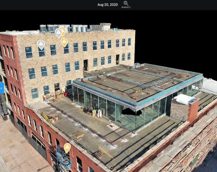
In the engineering field, drones provide precise aerial data for surveying, mapping, and modeling. By offering detailed topographic maps and 3D models, drones enable engineers to visualize projects in new ways and ensure accurate planning and execution. Drones can also monitor project progress, capture aerial views of construction sites, and help identify potential problems early, reducing the likelihood of delays or cost overruns.